
Building Solutions. Developing Leaders.
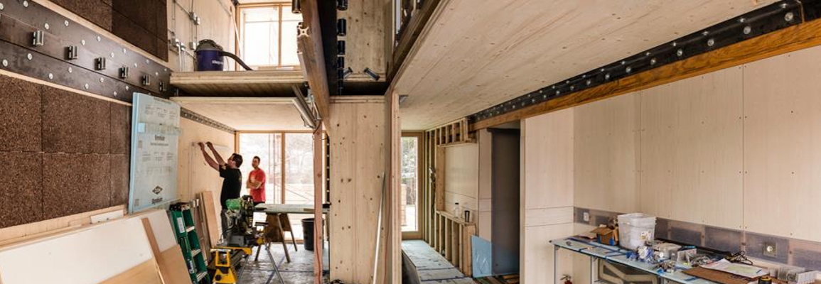
Our department features an integrated array of programs spanning the fields of sustainable design and technology. We have developed a reputation for innovative research and sustainable development in the areas of construction and building science, renewable energy, and other sustainable technologies. Our mission is to foster a strong and vibrant culture of inquiry, discovery, and innovation that integrates theory with application, problem seeking with problem-solving, local issues with global perspectives, and technological progress with environmental stewardship. More specifically, our department endeavors to:
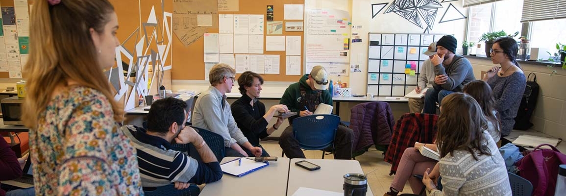
- Provide exemplary teaching that inspires and challenges students through experiential learning, synergistic curricula, and community engagement.
- Conduct and disseminate scholarly work that focuses on sustainable solutions to important challenges in the design, creation, and management of technological systems.
- Serve as a resource and a catalyst for local and global communities through projects, partnerships, and outreach.
We encourage you to become part of our innovative team! Please spend some time on our site learning more about our programs, our students, and our faculty.
News
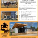
Zero Energy Residential Construction Certificate Program in Hickory Fall 2024
Apr 16, 2024
STBE News AnnouncementApril 15, 2024Zero Energy Residential Certificate launches Fall 2024 at AppState Hickory CampusThis Fall 2024 semester, the Depa...
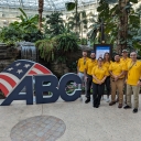
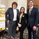
App State CM Team Competes at ABC National Convention over Spring Break
Mar 26, 2024
A team of CM students from App State qualified to compete with 25 other construction schools at the ABC national convention in Kissimmee, Florida...
Dr. Abu-elzait’s Graduate Student Research Group Presents at the Distributed Wind Energy Conference 2024
Mar 18, 2024
The “Hybrid Renewable Energy System Project” team presents their system design at the Distributed Wind Energy Association’s Conference (DWEA) 20...
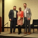
Dr. Rita Joyner receives NCSEA Award
Nov 28, 2023
On November 16, 2023 the North Carolina Sustainable Energy Association announced their recipients of their annual clean energy leadership awards. Thes...
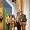
Dr. Sohad Abu-elzait and her Student Research Group Attend the RE+ 2023 Conference in Las Vegas
Sep 27, 2023
A group of our students and a faculty member participated along with 40k+ participants in the RE+ 2023 Conference that was held in Las Vegas Septemer ...
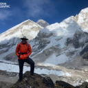
On Everest, App State faculty fine-tune tools for sky-high scholarship
Aug 9, 2023
Dr. Baker Perry, National Geographic Explorer and professor in Appalachian State University’s Department of Geography and Planning, returned to...